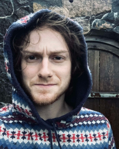
PhD Candidate in Geomatics and Remote Sensing affiliated with the Geodynamic and Basin Studies research group within the Department of Earth Science at the University of Bergen. Julien Vadnais' research interests include:
- Multispectral and SAR remote sensing in a multitude of topics covering the geosphere, cryosphere and biosphere.
- Machine learning (computer vision) mapping methods.
Research Projects
Advanced geomatics and machine learning to map and study spatio-temporal patterns of natural hydrocarbon seepage in the North Sea: Identifying, mapping, and understanding the distributon and change over time of natural oil and gas leaks from seabed into North Sea through the use of advanced remote sensing techniques and machine learning frameworks.
Applications of geospatial artificial intelligence (GeoAI) to analyze landscape effects on hive health: Master's project that applied GeoAI frameworks to analyze how landscape affects beehive health.