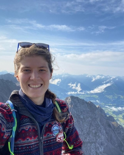
PhD Candidate in Global Change Ecology affiliated with the Terrestrial Ecology research group and the Mountains in Motion research groups within the Department of Biological Sciences and Bjerknes Centre for Climate Research at the University of Bergen. Eline Rentier's research interests include:
- (Re)constructing geo-ecological dynamics through space and time.
- Quantifying geodiversity and geo- and ecosystem services.
Research Projects
Past, Present and Future of Alpine Biomes Worldwide (PPF-Alpine): Elucidating the Quaternary history (last 2.6 million years) of alpine biomes, based on the notion that their dynamic past may hold key insights for their future resilience. Hence, looking into the past can provide the empirical foundation for anticipating ecological responses to global warming and perhaps provide evidence for a more optimistic Future. To decipher the biogeographical history of alpine diversity, PPF-Alpine has two underlying principles:
- We incorporate cross-disciplinary lines of research into one joint research project integrating expertise, tools, and data from paleoecology, biogeography, macroecology, and landscape modelling. This integration is essential to address one of the most important questions in biogeography, namely… ‘What causes global patterns of alpine biodiversity?
- We promote research that acknowledges and quantifies the legacy of long-term dynamics of the past in present-day biodiversity.
GLACIMONTIS: Understanding the extent of mountain glaciers during past cold periods, with a focus on the Last Glacial Maximum (~21,000 years ago) and the last glacial cycle (the last 130,000 years). The project reconstructs glaciers in mountains worldwide with cutting edge techniques and compiles paleoglacier reconstructions from published studies into a global open-access geodatabase, integrating geomorphological mapping, chronological data, and glacier modelling outputs. This resource allows researchers to analyse past ice cover at regional to global scales, refine climate and glacier models, and assess the role of glaciation in shaping mountain environments. Beyond compiling existing data, GLACIMONTIS also develops new reconstructions in poorly studied regions, advancing our understanding of past cryosphere–climate interactions.
Automated mapping with LiDAR: Development of a Google Earth Engine model to automatically detect and classify coastal geomorphology for the island of Texel (the Netherlands), using laser altimetry data and supervised machine learning. The classified features were linked to geosystem services to identify hotspot areas of geodiversity and natural capital.